|
 Welcome to RAMWASS
The main aim of RAMWASS is to provide governmental administrators and
emergency agencies tools and methodologies to assist in the risk
assessment of the water-sediment-soil systems in fluvial ecosystems.
Expert Solutions
RAMWASS gives expert thorough solutions to hydrodynamic, sediment transportation and subsidence problems in three aquatic and wetland ecosystems adjacent to river basins in Europe.
- The Do˝ana Marshes, Spain
- The Elbe Riverland, Germany
- The Po River Delta, Italy
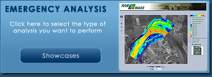
RAMWASS as an Emergency Assessment Tool
In the case of emergency situations, RAMWASS can provide web-based real-time results for each type of analysis with the help of intelligent algorithms such as Artificial Neural Networks.
|